
Isaias Nears Florida Panhandle as a Major Hurricane
The NHC’s 10 a.m. CDT advisory reports 120 mph winds and forecasts landfall this evening, with urgent preparations continuing in warning areas.
Hurricane Isaias remained a major hurricane on October 9, with sustained winds of 120 mph in the National Hurricane Center’s 10 a.m. CDT advisory. The NHC expected its center to reach the western Florida Panhandle coast this evening, with dangerous winds and life-threatening storm surge threatening the region.
The official advisory placed the Category 3 storm about 195 miles south of Pensacola, Florida, moving north-northeast at 16 mph. Isaias was forecast to be at or near major-hurricane strength at landfall. This report reflects advisory 12, issued at 10 a.m. CDT; conditions and instructions can change quickly.
The warnings matter beyond the headline wind speed
In advisory 12, the NHC urged residents to finish preparations and promptly follow local evacuation instructions. A hurricane warning covered Ocean Springs, Mississippi, to Florida’s Bay/Gulf county line. A storm-surge warning extended from the mouth of the Mississippi River to the Suwannee River.
The center’s 10 a.m. forecast discussion also warned of damaging winds, potentially prolonged power outages and significant flooding from heavy rain. Hurricane-force winds could reach up to 100 miles inland along the storm’s track into southern Alabama. Those hazards make this a regional safety story, including for people away from the immediate coast.
The National Weather Service’s warning guidance explains that a storm-surge warning signals a danger of life-threatening water moving inland from the shoreline. A hurricane warning means hurricane conditions are expected somewhere within the specified area. Both call for prompt attention to local instructions. Waiting for conditions outside a window to look severe can leave too little time to act.
Warm water and shifting winds complicate the picture
The NHC’s latest forecast discussion says strong wind shear has increased over the storm. Its direction is nearly aligned with Isaias’s movement, limiting its disruptive effect, while increasing upper-level divergence has helped the hurricane strengthen. Forecast models indicated that Isaias could maintain major-hurricane intensity until landfall this evening. The evolving balance is a reminder that stronger shear does not automatically remove a hurricane threat.
An Associated Press report published today places that interaction in a wider environmental context. Experts interviewed by AP described El Niño-related winds that have hindered Atlantic storm development, alongside unusually warm Gulf waters and abundant moisture that can support strengthening. The competing forces help explain why a quiet stretch of a season offers little reassurance when a dangerous storm does develop.
When sharing an update with neighbors or relatives, include its issue time and the official source. A screenshot of an earlier forecast can circulate long after a new advisory appears. Check the live warning information again before using an old post to make a decision.
Use the remaining preparation time carefully
The Weather Service’s immediate-action guidance is straightforward: follow local officials, leave immediately if ordered and stay informed through local weather and emergency-management offices. Tell friends or family where you are going if you need to leave. People sheltering in place should follow the safety instructions appropriate to their location and flooding risk.
Its flood-preparation guidance also recommends charging essential electronics, having backup batteries available and gathering necessities for family members and pets before the last moment. These are practical steps to complete while conditions allow. An evacuation instruction takes priority over finishing household preparations.
For the latest storm information, consult the NHC’s current advisories and warnings and your local National Weather Service office. Follow local emergency-management instructions for evacuation decisions. Today’s central message is immediate: use official, current information and act while there is still time to do so safely.
Also check out our current Publication “The DOSSIER Mining” Issue available now!

DOSSIER Mining releases in retrograde 'In the Land of Chromatica' with Lady Gaga's Designer Xtian de Medici, Keren Wolf, FX Pose's Naomi Cruz honoring the life of Grandfather Hector of House of Xtravaganza as our 1st cover story & Award Winning Anna Schollerova from Nora K's Whisper Naked Shadow TV mini-series and much much more!! The DOSSIER Mining compared to 'The Aftermath' issue, & others before it, is elevated reaching a better and truer essence of the Cyclolore Brand from many aspects & will so moving forward.
Related Stories to read next from this featured panel!
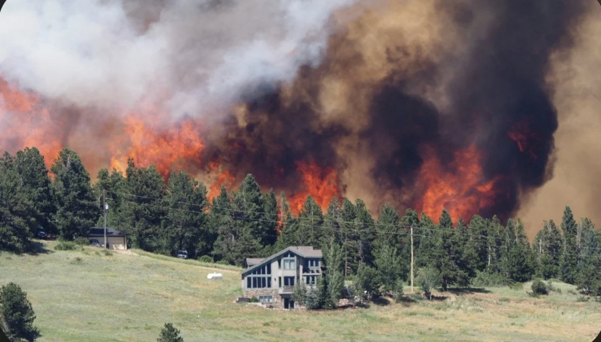






Hurricane Isaias remained a major hurricane on October 9, with sustained winds of 120 mph in the National Hurricane Center’s 10 a.m. CDT advisory. The NHC expected its center to reach the western Florida Panhandle coast this evening, with dangerous winds and life-threatening storm surge threatening the region.