
The Amazon Fires a Satellite Map Can Miss
Smoke can make a fire harder to count.
Smoke can make a fire harder to count. NASA’s October 15, 2026 account of burning in the Amazon shows why satellite detections need careful interpretation, especially beneath clouds and forest canopy.
An urgent picture, with limits
NASA Earth Observatory reported increased fire activity around Manaus and Santarém beginning in September. Its October 12 satellite observation showed extensive smoke. The account connects dry conditions with El Niño. These are dated observations, not a live assessment of the entire basin. NASA Earth Observatory, October 15, 2026
The same report highlights a less visible problem: instruments can miss fires when smoke, clouds or vegetation interfere with the infrared signal. Lower-intensity burning beneath a forest canopy can be particularly difficult to detect. A map showing fewer marked locations does not necessarily mean less burning. Sometimes it means a poorer view. NASA Earth Observatory, October 15, 2026
The information outside the standard count
A University of Maryland research account published December 5, 2025 explains work by scientist Shane Coffield on extracting additional information from the Visible Infrared Imaging Radiometer Suite, or VIIRS. Its fire-detection algorithms are deliberately cautious about false alarms. Some pixels partially satisfy fire criteria but are classified as candidates rather than entering the standard set of detections. This is an important distinction between a possible signal and a confirmed product output. University of Maryland: Improving Wildfire Tracking with Satellite Detection
The university describes how the approach emerged from examining California’s 2020 Creek Fire, where a large fire-generated cloud interfered with detection. Reviewing additional candidate information offered a fuller picture of activity. Researchers identified potential uses for smoke modeling and air-quality forecasting, while also emphasizing the continuing value of improved satellite observations. Older research helps explain the technique; it is not itself a measurement of the Amazon’s October 2026 fires. University of Maryland: Improving Wildfire Tracking with Satellite Detection
More signals require more interpretation
NASA says Coffield plans to share additional candidate-fire locations with MapBiomas researchers. That is not permission to label every ambiguous pixel a separate wildfire. Nor should detections be treated automatically as burned acreage, emissions or affected households. Those are different questions requiring different evidence. NASA Earth Observatory, October 15, 2026
How to read the next map
A useful reading habit is to ask what the map actually measures before asking whether its numbers are rising. Check the observation date, the instrument and the label attached to the plotted points. Does a comparison use the same method on both dates? Does an empty area indicate a clear observation without detections, or a gap in what could be seen? These are practical editorial questions, not reasons to dismiss satellite evidence.
The deeper lesson is that uncertainty deserves a place in environmental reporting. A compelling image and a precise-looking count can communicate urgency while still leaving important questions unanswered. Explaining those boundaries makes the evidence more useful, not less persuasive. For the Amazon, the challenge is both to understand the fires already visible and to avoid mistaking obscured damage for an absence of damage. Better observation helps make that distinction; local reporting and further analysis are still needed to describe what particular communities and forests have experienced. In that sense, responsible coverage begins by making the limits of the picture visible alongside the picture itself.
Also check out our current Publication “The DOSSIER Mining” Issue available now!
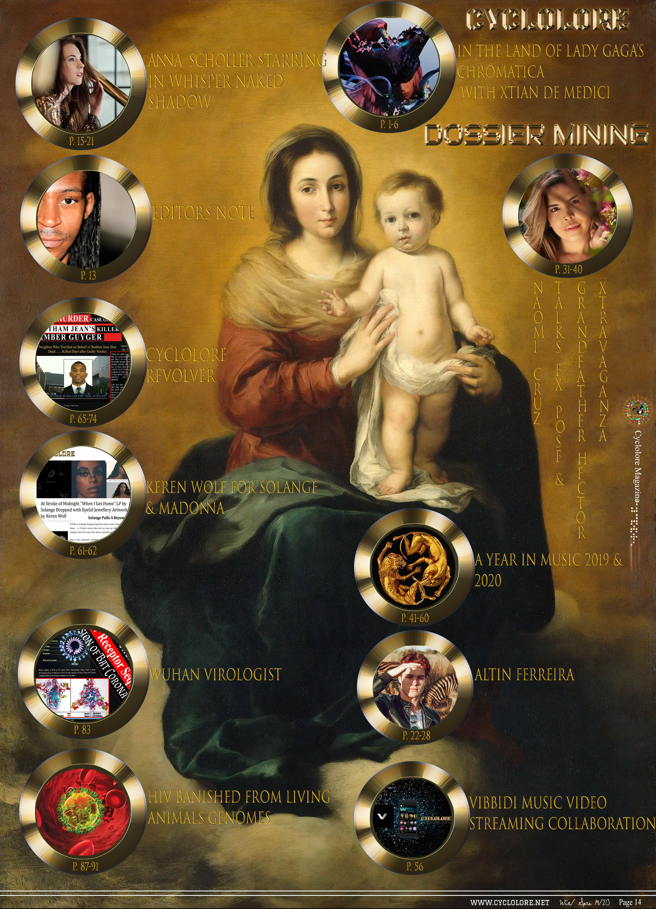
DOSSIER Mining releases in retrograde 'In the Land of Chromatica' with Lady Gaga's Designer Xtian de Medici, Keren Wolf, FX Pose's Naomi Cruz honoring the life of Grandfather Hector of House of Xtravaganza as our 1st cover story & Award Winning Anna Schollerova from Nora K's Whisper Naked Shadow TV mini-series and much much more!! The DOSSIER Mining compared to 'The Aftermath' issue, & others before it, is elevated reaching a better and truer essence of the Cyclolore Brand from many aspects & will so moving forward.
Related Stories to read next from this featured panel!




Smoke can make a fire harder to count. NASA’s October 15, 2026 account of burning in the Amazon shows why satellite detections need careful interpretation, especially beneath clouds and forest canopy.